EXPERIENCE VYC
SINCE 2002
Founded by cruisers dedicated to boating in Mexico
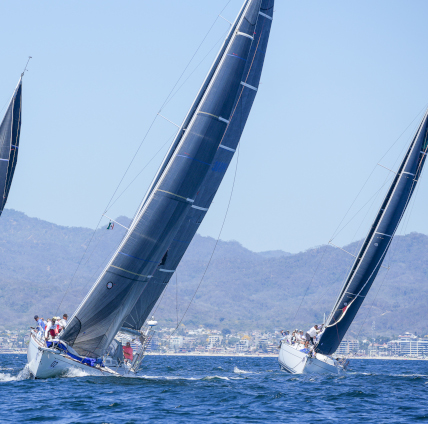
Our members strive to follow the club’s three missions: to host and support world-class sailing events, establish a thriving and exciting social environment, and support our community. VYC is known worldwide for hosting continental, national and world sailing competitions in beautiful Banderas Bay, recognized as one of the world's top sail racing venues.